National Parks of New York Harbor
20 mi south · National Park Service
These 12 sites preserve more than 400 years of American history! We invite you to explore the past and investigate its relevance in our lives today.
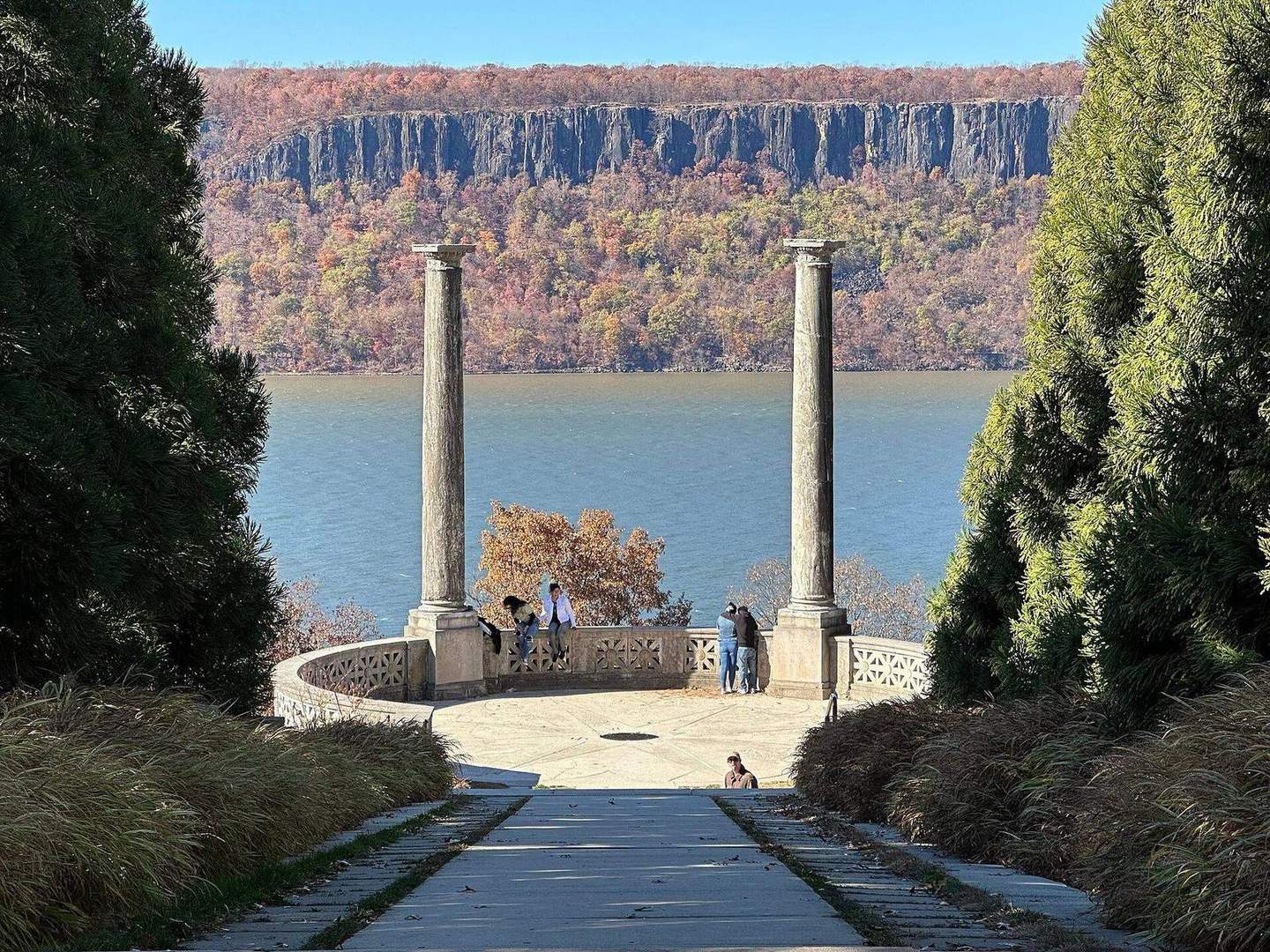
Outdoors
Lakes, rivers and beaches near Yonkers where swimming is allowed on public land.
Good to know: Most natural swimming areas have no lifeguard; check water-quality advisories and current conditions before swimming.
20 mi south · National Park Service
These 12 sites preserve more than 400 years of American history! We invite you to explore the past and investigate its relevance in our lives today.
25 mi south · National Park Service
Spanning 27,000 acres from Sandy Hook in New Jersey to Breezy Point in New York City, the park is both the gateway from the ocean into New York Harbor, and the gateway to the National Park Service for millions of visitors every year.
34 mi south · National Park Service
Welcome to Gateway National Recreation Area, Sandy Hook Unit! There are a variety of cultural and recreational opportunities available at the park including history tours, living history demonstrations, hiking, birding, kayaking, camping,…
Map of 7 places loads as you scroll.
These 12 sites preserve more than 400 years of American history! We invite you to explore the past and investigate its relevance in our lives today.
Spanning 27,000 acres from Sandy Hook in New Jersey to Breezy Point in New York City, the park is both the gateway from the ocean into New York Harbor, and the gateway to the National Park Service for millions of visitors every year.
Welcome to Gateway National Recreation Area, Sandy Hook Unit! There are a variety of cultural and recreational opportunities available at the park including history tours, living history demonstrations, hiking, birding, kayaking, camping,…
Immerse yourself in an enchanting collage of coastal life and history. Rhythmic waves, high dunes, ancient maritime forests, historic landmarks and glimpses of wildlife, Fire Island has been a special place for diverse plants, animals and…
The Alosa Campsites are boat-in only sites located on the west (Pennsylvanian) shore of the Delaware River near Bushkill, Pennsylvania. The side of the river with the campsites will be on your right while traveling downstream.
Hop Brook Lake Recreation Area is located within the towns of Middlebury, Naugatuck and Waterbury, Connecticut. Its 536 acres provide excellent recreation opportunities and a chance to escape from the growing suburbia surrounding the park.
In 1958 the U.S. Army Corps of Engineers built Buffumville Dam in Charlton, Massachusetts to provide flood risk management for downstream communities.
Distances are straight-line miles from downtown Yonkers. Listings come from Recreation.gov’s federal recreation database; check each official page for hours, fees, fire restrictions and closures before you go.
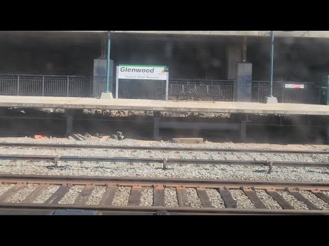
THINGS TO DO · YOUTUBE SHORT
An activity Short shared by FaLO66traintravels.
Watch on YouTube ↗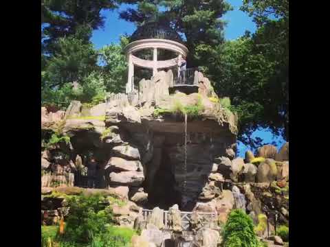
THINGS TO DO · YOUTUBE SHORT
An activity Short shared by iHeart Hudson Valley.
Watch on YouTube ↗


National Parks of New York Harbor (National Park Service), about 20 miles south of Yonkers as the crow flies. Next are Gateway National Recreation Area (25 mi) and Camp Gateway - Sandy Hook (34 mi).
Based on Yonkers’s average highs, June–September. Conditions at higher elevations can be much cooler.
Federal agencies including National Park Service, US Army Corps of Engineers. Each listing links to its official page for hours, fees, closures and current conditions.